How Arab Navigators Mapped the Indian Ocean Before Europe
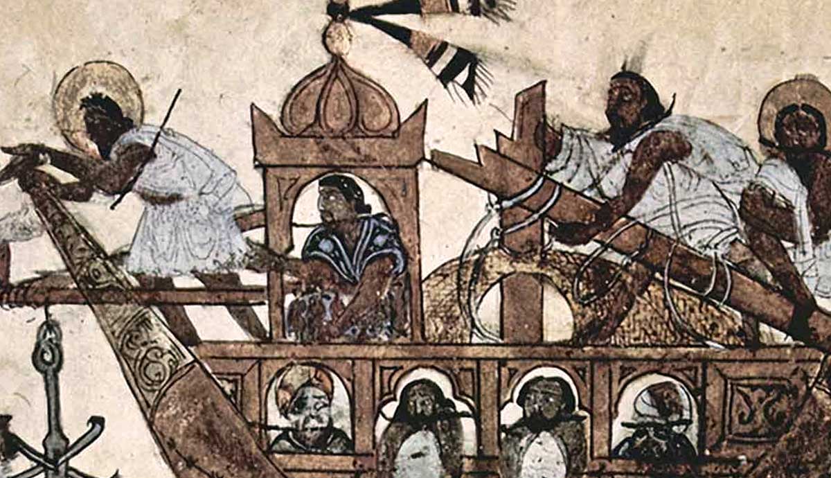
Arab navigators. Source: INF NewsAlthough the Islamic expansion knit the Indian Ocean together, a maritime base already existed. In ancient times, Roman merchants met traders hailing from far places. Evidence such as coins or amphorae (two-handled ceramic vessels) turned up in far-flung India. Ports with famous names, such as Aden, Hormuz, and Calicut, became trade hubs. Over time, Arab sailors created navigation methods, making connections easier.The Arab Maritime Golden AgeMap of the World by Ibn Hawqal, c. 980. Source: Muslim HeritageAs with most ancient sailing, their ships tended not to venture into blue water. The sailors hugged the coastline for short trips and knew key landmarks. Sailors rarely ventured far due to the limited tools or knowledge. Knowledge spread through oral traditions. Yet an ocean-wide network developed. Everything changed during the Arab Golden Age (7th and 15th centuries).One crucial change Arab navigators grasped was the seasonal monsoon winds. By mastering these winds, they could predictably departure times.Indian Ocean Muslim Trade Routes. Source: WikimediaWith blue water sailing now available and expanding trade, Arab mariners needed reliable tools. Their long tradition of oral knowledge now faced a rival: the map. Arab Caliphs encouraged a scholarly approach to cartography using astronomy and mathematics. Now, accurate measurements of currents, coastlines, and navigation produced uniform maps.With regular commerce, the ports previously mentioned thrived. Aden, located in the Red Sea, became a crucial hub for goods traveling from Africa, India, and the Mediterranean. Hormuz (in the Persian Gulf) linked Persian, Arab, and Indian markets. Finally, Calicut (India) saw Arab, Chinese, or Asian merchants carrying on. In the Indian Ocean, the Arabs entrenched themselves as intermediaries between Europe, Africa, and Asia.Their Tools and TechniquesA Navigator Using a Kamal for Positioning. Source: Oceans 4 FutureIn addition to tracking monsoon seasons and maps, Arab sailors refined their techniques and knowledge. Many of these improvements spilled over from the empirical methods employed during Islams Golden Age.For blue water navigation, Arab navigators used star charts, celestial navigation, memory, and tools like astrolabes and a clever, simple tool called a kamal. Made using knotted string and a rectangular board, the navigator calculated the latitude. This was by determining the angle between the skyline and a known star.Scholars consolidated Greek, Persian, and Indian maritime knowledge, incorporating their own observations and insights. The astronomer Al-Sufi recorded 250 plus stars in his Book of Fixed Stars. Formerly memorized details, such as harbors, wind patterns, and sailing directions, were recorded in texts (called rahmanis). All this knowledge finally appeared in the 15th centurys The Book of Useful Information on the Principles and Rules of the Sea by Ahmad ibn Majid.Distinctive and Useful Ship DesignsTraditional Dhow in the Persian Gulf. Source: Greenwich Maritime MuseumAs Arab scholars and sailors refined their trade, others developed hand, distinct, and later influential ship designs. They combined Arab innovations with Indian, Persian, and African practices. These later influenced the ship designs of the Portuguese and other European powers during the Age of Exploration.The Arabs refined earlier maritime technology, such as:Triangular lateen sails represented a significant technical leap. These allowed ships to tack against the wind, especially useful during monsoon seasons or for easier steering.Sewn planks: An age-old technique, shipbuilders literally sewed hull planks together. They drilled small holes along the edges. Next, the rope is threaded through the holes, and the planks are pulled tight, providing better flexibility for rough seas. Materials like resin or fiber made excellent caulking.Shipbuilders refined older vessel types, such as the dhow and sambuk, by adding lateen sails and improving their construction. The dhows final refinement came in the baglah (16th century).Recreated Baglah ship. Source: Family Tree DNAAt 100 feet in length, with a curved high prow and a square stern, the baglah stood out. Usually built with two or more lateen sails, bigger versions could transport up to 400 tons. Their size alone allowed the Arabs to dominate trading for centuries. Most Arab ships came from Yemen, Oman, or Gujarat.Beyond Physical CartographyExample of a sewn-plank hull. Source: Semantic ScholarArab navigators did more than physical mapping. The Arab maritime expansion occurred concurrently with Islams growth in the late 7th century. Caliphates encouraged trade for growth. Beyond their traditional areas, traders soon reached East Africa, India, and even Aceh (Indonesia). In many of these ports, Arab merchants established enclaves, mosques, and local contacts. Islam spread with them, providing a common threat throughout the region.A Common MisconceptionAs the Europeans entered the Indian Ocean, they found a pre-existing network. Their discovery is not entirely accurate.The Arab scholars and navigators had already woven the Indian Ocean together. They sailed into a cohesive system with working parts.