

In 2023, A Megatsunami Shook The World Every 90 Seconds For 9 Days. Now, We Can See Why
A Seismic Mystery Shook The Earth Every 90 Seconds For 9 Days in 2023. Now, We Can See Why
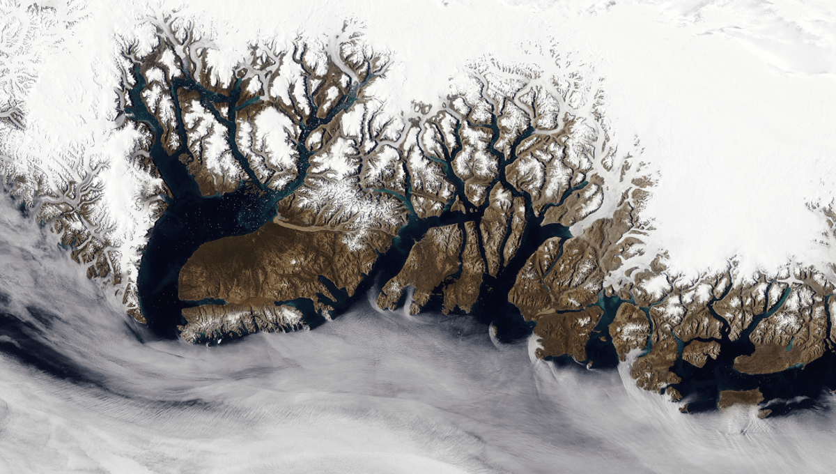
In 2023, a massive landslide in Greenland triggered megatsunamis in the Dickson fjord. Although no one was harmed, the event generated mysterious seismic signals that puzzled scientists globally because they didn't know where this strangely rhythmic rumbling was coming from. What had shaken the world?
The key to understanding the phenomenon rested on data recorded at a research station at the fjord’s mouth. It revealed that two tsunamis caused by landslides had created a seiche, or “standing wave”, that resonated in the fjord for a week. Incredibly, the whole saga shook the Earth’s crust so intensely that vibrations were detected on other continents for nine days. At least, that was the theory. Thing is, nobody actually had any observations of these seiches that could back it up. Now, scientists from the University of Oxford have used a new approach to interpret satellite altimetry data – something that can measure the height of Earth’s surface, be it water or land. It does this by recording how long it takes for a radar pulse to bounce from the satellite to the Earth and back to the satellite again. Typically, you wouldn’t expect to be able to measure a wave using this tech because the observations are too spaced apart. However, this new study used data captured by the new Surface Water Ocean Topography (SWOT) satellite, which has unprecedented accuracy of up to 2.5 meters (8.2 feet) resolution. Looking at data from the window of time in which the two tsunamis were rocking the Greenland fjord, they saw clear evidence of cross-channel slopes with height differences of up to 2 meters (6.6 feet). They could even see that the slopes were moving in opposite directions, demonstrating that the waves were indeed bouncing backwards and forwards across the narrow channel of water. Would've been one hell of a day to get caught out tubing in the Dickson fjord. They then linked up this data to information about the Earth’s crust that had been recorded thousands of kilometers away, enabling them to establish the movement of the wave even when the satellite wasn’t taking snapshots. None of what they saw could be explained by wind or tidal movement, meaning the team could finally visualize what it was that shook the Earth that week. “Climate change is giving rise to new, unseen extremes,” said lead author Thomas Monahan of the Department of Engineering Science, University of Oxford, in a release. “These extremes are changing the fastest in remote areas, such as the Arctic, where our ability to measure them using physical sensors is limited.” “This study shows how we can leverage the next generation of satellite earth observation technologies to study these processes. SWOT is a game changer for studying oceanic processes in regions such as fjords which previous satellites struggled to see into.” Not only can the unprecedented accuracy help us unravel some mysteries of the past, but it could be pivotal in monitoring the ocean extremes ahead, including tsunamis, storm surges, and freak waves. It might make for queasy reading, but it’s all vital information as we adapt to life on a changing planet. The study is published in Nature Communications.